

Select NOAA-NWS Forecast Office Text Products
(Product availability varies with seasons, forecast office, and weather.)
Forecast Discussion for Boise, ID
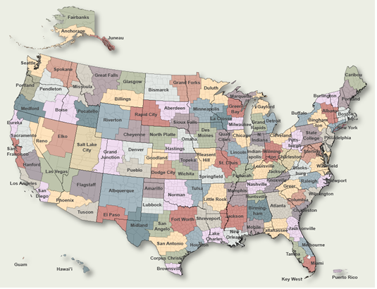
To Select Another NWS Office Click on Map or Choose from List
|
| Select Forecast Office: | Select Product: |
696
FXUS65 KBOI 302013
AFDBOI

Area Forecast Discussion
National Weather Service Boise ID
213 PM MDT Thu Jul 30 2026

.KEY MESSAGES...
- Wildfire smoke will persist across southeast Oregon and
  southwest Idaho through the weekend, keeping air quality
  degraded and hazing skies.

- A dry cold front will push through Saturday afternoon through
  Sunday, bringing gusty winds, cooler temperatures, and
  critical fire weather conditions.

&&

.SHORT TERM /Through Saturday Night/...
Southwest flow aloft continues across the region between a
broad upper high over the Four Corners and an approaching trough
along the Pacific Northwest coast. Very warm and dry conditions
will persist through Saturday. Wildfire smoke from several
large fires across Oregon will remain through the weekend. This
smoke will continue to degrade air quality while keeping daytime
high temperatures a few degrees lower than full solar heating
would allow. There could be some near-surface improvement in
smoke concentrations with the cold frontal passage Saturday
afternoon and evening as it promotes deeper boundary layer
mixing. Valley highs on Friday and Saturday will still reach
into the mid to upper 90s.

The main forecast focus is a dry cold frontal passage arriving
Saturday afternoon. As the front approaches, southwest to west
winds will increase Saturday morning, turning gusty from the
west-northwest Saturday afternoon and evening behind the
boundary. Wind gusts of 25 to 35 mph are expected in exposed
valley locations, high terrain, and wind-prone corridors like
the Baker Valley. Combined with afternoon relative humidity
dropping into the single digits and low teens, the gusty winds
will lead to critical fire weather conditions across much of the
area Saturday afternoon through Saturday night.

&&

.LONG TERM /Sunday through Thursday/...
The cold front continues east across southwest Idaho on Sunday.
Strong pressure gradients and tight thermal packing behind the
front will maintain gusty northwest winds across the area
through Sunday afternoon and evening. Gusts of 30 to 40 mph
remain possible across higher terrain and along the Snake River
Plain. Westerly winds will continue to transport wildfire smoke
across the region, keeping degraded air quality in place through
the end of the weekend. High temperatures on Sunday will drop 5
to 10 degrees behind the front, holding in the mid 80s to low
90s in the valleys.

From Monday through Thursday night, an upper-level trough over
western Canada will keep the ridge over the Great Basin and
Intermountain West largely suppressed, resulting in more
westerly flow aloft. This may prevent smoke from the Big Grass
fire from reaching the Treasure Valley, but several large fires
across eastern Oregon will continue to spread smoke across
western Idaho. Thus, smoky conditions are likely to persist
through the end of the week. A steady drying trend will
continue, with lower elevation temperatures returning to the mid
90s by Wednesday and Thursday. Winds will subside compared to
the weekend, returning to typical afternoon breezy conditions.
With limited moisture return, precipitation chances remain near
zero across southeast Oregon and southwest Idaho through
Thursday night.

&&

.AVIATION /18Z Thursday through Friday/...
Issued 1243 PM MDT THU JUL 30 2026
Widespread wildfire smoke reducing visibilities with areas of
MVFR and IFR conditions. Mountains obscured in smoke. Slight
improvements possible in the afternoon. Surface winds: SW-NW
5-12 kt through this evening. Gusty valley winds 10-15 kt with
gusts 20-25 kt over KBKE and KONO in the evening. Winds aloft at
10kft MSL: SW 5-15kt.

KBOI...Improvement in smoke from wildfires through this evening
though a return of MVFR conditions possible Friday morning. Surface
winds: NW 7-12 kt in the afternoon.

Weekend Outlook...Dense smoke coverage will continue MVFR-IFR
conditions and mountain obscurations over the weekend. Dry
frontal passage on Saturday will bring gusty NW winds over all
areas Saturday afternoon/evening and mainly east of KBOI Sunday
afternoon. This could improve the dense smoke coverage for some
areas. Surface winds: SW- NW 10-20 kt with gusts 20-30 kt
Saturday/Sunday.

&&

.BOI WATCHES/WARNINGS/ADVISORIES...
ID...Air Quality Alert until 2 PM MDT Friday for IDZ011>015-028-029-
     033.
     Fire Weather Watch from Saturday afternoon through Saturday
     evening for IDZ402-423.
OR...Fire Weather Watch from Saturday afternoon through Saturday
     evening for ORZ670>675.
     Air Quality Alert until 1 PM MDT /noon PDT/ Friday for
     ORZ062>064.
&&

$$

www.weather.gov/Boise

Interact with us via social media:
www.facebook.com/NWSBoise
www.x.com/NWSBoise

SHORT TERM...JDS
LONG TERM....JDS
AVIATION.....JDS
|
Previous Forecast Discussions may be found at
NWS Boise, ID (BOI) Office Forecast Discussions.
(Click 'Previous Version' there to view past versions successively.
Some may differ only in time posted.)
Products Courtesy of NOAA-NWS
NWS Information Parsing Script by Ken True at Saratoga Weather - WFO and Products Scripts by SE Lincoln Weather.
Mapping by Curly at Michiana Weather and by Tom at My Mishawaka Weather.


