Red Flag Warning RED FLAG WARNING - Arco/Mud Lake Desert  - Bear Lake Valley  - Bear River Range  - Beaverhead/Lemhi Highlands  - Big Hole Mountains  - Big Lost Highlands/Copper Basin  - Blackfoot Mountains  - Caribou Range  - Centennial Mountains/Island Park  - Challis/Pahsimeroi Valleys  - Eastern Lemhi County  - Eastern Magic Valley  - Frank Church Wilderness  - Franklin/Eastern Oneida Region  - Lost River Range  - Lost River Valleys  - Lower Hells Canyon/Salmon River Region  - Lower Snake River Plain  - Lower Treasure  Valley  - Marsh and Arbon Highlands  - Orofino/Grangeville Region  - Owyhee Mountains  - Raft River Region  - Sawtooth/Stanley Basin  - Shoshone/Lava Beds  - Southern Clearwater Mountains  - Southern Hills/Albion Mountains  - Southern Twin Falls County  - Southwest Highlands  - Sun Valley Region  - Teton Valley  - Upper Snake River Plain  - Upper Treasure Valley  - West Central Mountains  - Western Lemhi County  - Western Magic Valley
Air Quality Alert AIR QUALITY ALERT - Arco/Mud Lake Desert  - Beaverhead/Lemhi Highlands  - Big Lost Highlands/Copper Basin  - Blackfoot Mountains  - Boise Mountains  - Camas Prairie  - Centennial Mountains/Island Park  - Central Panhandle Mountains  - Challis/Pahsimeroi Valleys  - Eastern Lemhi County  - Eastern Magic Valley  - Frank Church Wilderness  - Lewis and Southern Nez Perce Counties  - Lewiston Area  - Lost River Range  - Lost River Valleys  - Lower Hells Canyon/Salmon River Region  - Lower Snake River Plain  - Lower Treasure  Valley  - Marsh and Arbon Highlands  - Northern Clearwater Mountains  - Orofino/Grangeville Region  - Owyhee Mountains  - Raft River Region  - Sawtooth/Stanley Basin  - Shoshone/Lava Beds  - Southern Clearwater Mountains  - Southern Hills/Albion Mountains  - Southern Twin Falls County  - Southwest Highlands  - Sun Valley Region  - Teton Valley  - Upper Snake River Plain  - Upper Treasure Valley  - Upper Weiser River  - West Central Mountains  - Western Lemhi County  - Western Magic Valley
CoCoRaHS (Community Collaborative Rain, Hail and Snow Network) Station Number: ID-GM-5
New CoCoRaHS Volunteers Needed
for all areas of Idaho
Click for Details
Emmett, Idaho Weather

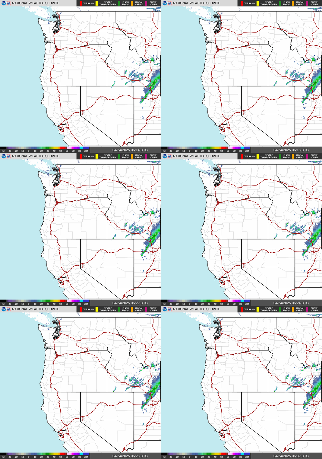
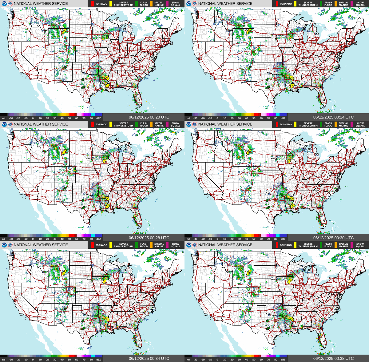
NE Pacific, NW US & Continental US
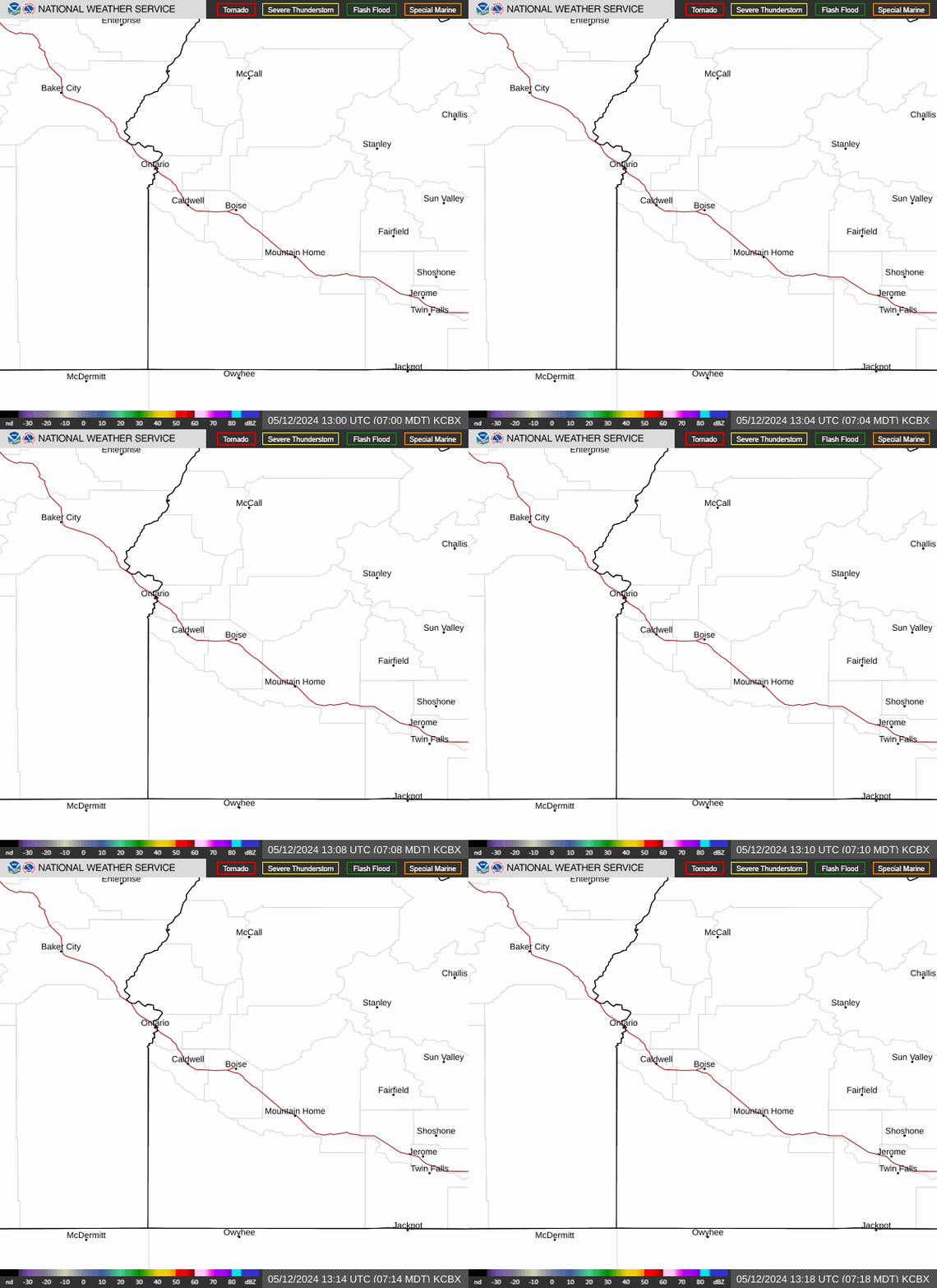
Regional Radar and Infrared Satellite Imagery

Mouseover Images to Enlarge
North East Pacific Satellite Loop
Infrared Satellite
Pacific Satellite Loop
Continental US Satellite Loop
Infrared Satellite
Pacific Satellite Loop
North West Radar Loop
Regional Radar
Pacific Satellite Loop
Continental US IR Satellite Loop
Infrared Satellite
Pacific Satellite Loop
spacer
Updated: @ 27-Jul-2024 12:06am - next update at 11:55am  
Summary / Temperature Wind Rain Outlook
Clear Clear
Currently: 69.8°F, Max: 70.0°F, Min: 69.8°F 69.8°F
Colder 2.6°F than last hour.

---

Feels like: 77°F

24-hr difference
0.2°FWarmer 0.2°F than yesterday at this time.
  Today Yesterday
High: 70°F
12:00am
93.1°F
5:38pm
Low: 69.8°F
12:05am
55.7°F
7:15am
 Wind from ESE ESE
3.6
Gust:
4 mph
1 Bft - Light Breeze
Today: 6 mph 12:05am
Gust Month: 37.0 mph July 24
Rain Today: 0 in
Rain Rate (/hr): 0 in
Rain Yesterday: 0 in
Storm Rain: 0 in
This Month: 0.02 in
Season Total: 10.34 in
1 rain day in July.
Saturday

Saturday: Areas Of Smoke
Areas Of Smoke
Humidity & Barometer Almanac Moon
Humidity: 45 %  
Dew Point: 47.5°F Decreased 2.4°F since last hour.
Barometer: 29.597 inHg  
Baro Trend: Steady
Sunrise: 6:30am
Sunset: 9:17pm
Moonrise: 12:13am
Moonset: 2:04pm
Waning Gibbous
Waning Gibbous, Moon at 21 days in cycle
60%
Illuminated
UV Index Forecast UV Index Forecast
27-Jul-2024
8.7     Very High 
28-Jul-2024
7.9     High 
 NWS Weather Forecast  - Outlook: Tonight & Saturday
Tonight

Tonight: Areas Of Smoke
Areas Of Smoke

Lo 61 °F
NWS forecast: Areas of smoke. Mostly clear, with a low around 61. Southeast wind 2 to 8 mph.
Davis VP+ forecast: Mostly cloudy and cooler, precipitation possible within 12 hours, possibly heavy at times, windy.
 
Saturday

Saturday: Areas Of Smoke
Areas Of Smoke

Hi 95 °F
NWS forecast: Areas of smoke. Mostly sunny, with a high near 95. West wind 2 to 10 mph.

Real-time PurpleAir Air Quality Index

Old Freeze Out, Emmett, Idaho

Loading PurpleAir Widget...

Hillsdale Estates, Star, Idaho

Loading PurpleAir Widget...

CoCoRaHS (Community Collaborative Rain, Hail and Snow Network) Station Number: ID-GM-5 Live Lightning Map - USA Boise Skywarn Spotter ID: DO21 AlertID Southwestern Weather Network
Northwestern Weather Network


National Sex Offender Public Website

National Sex Offender Public Website


(Click on the Flag Counter logo below for details in new browser tab)
Flag Counter